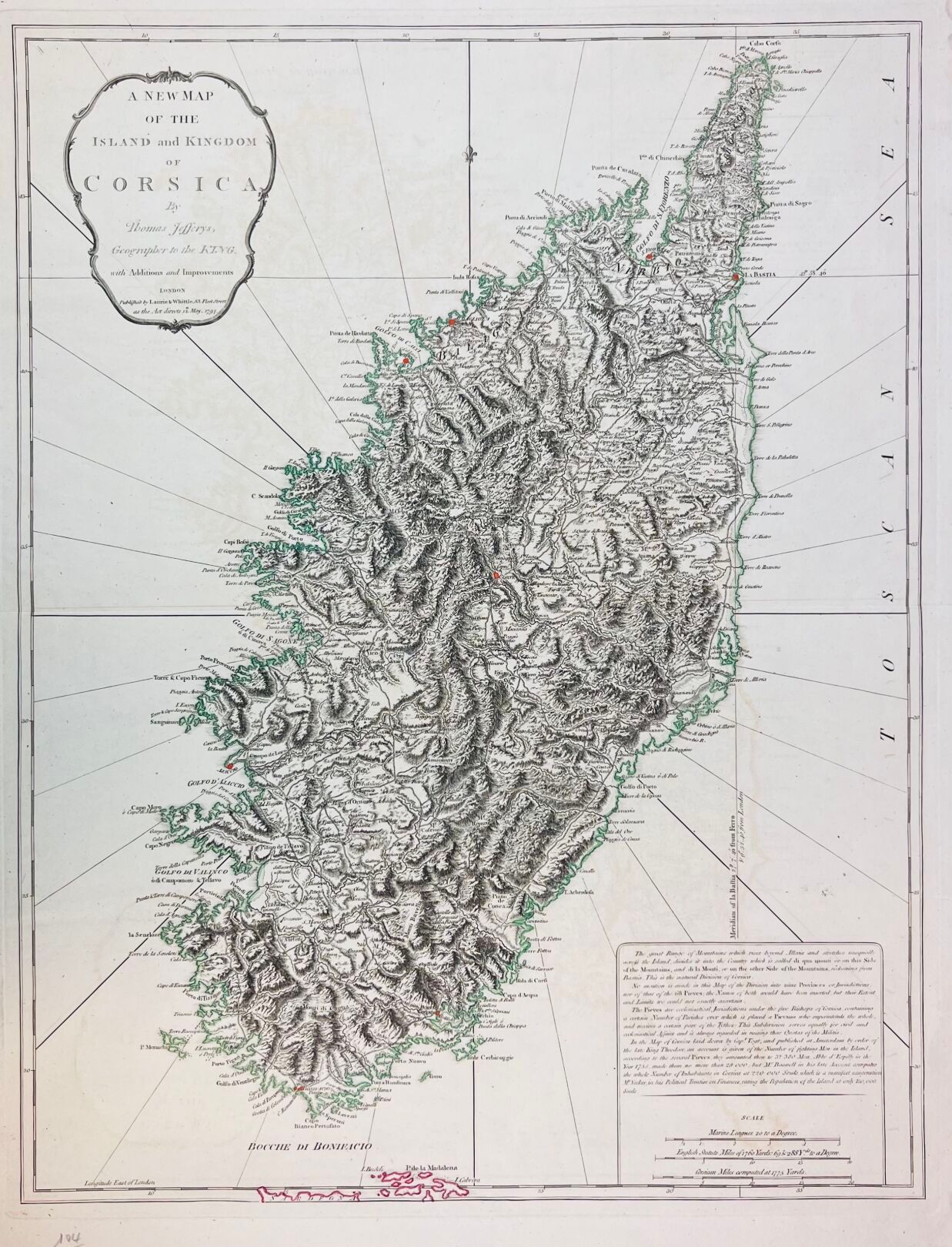
Thomas JEFFERYS (1719-1771) "A new map of the island and kingdom of Corsica by Thomas Jefferys, geographer to the king". 1794, Londres, Laurie & Whittle, 53 fleet street. Carte géographique gravée et aux limites aquarellées. Dim. au coup de planche : 65 x 49,3 cm.
Estimation
600 € - 800 €
Résultat
Non communiqué
Frais de vente
26%
Thomas JEFFERYS (1719-1771)
"A new map of the island and kingdom of Corsica by Thomas Jefferys, geographer to the king".
1794, Londres, Laurie & Whittle, 53 fleet street.
Carte géographique gravée et aux limites aquarellées.
Dim. au coup de planche : 65 x 49,3 cm.
Vente
samedi 23 mars 2024・14:00 (Europe/Paris)
Lieu de vente à venir
17, rue du Maréchal-Juin
20600 Bastia