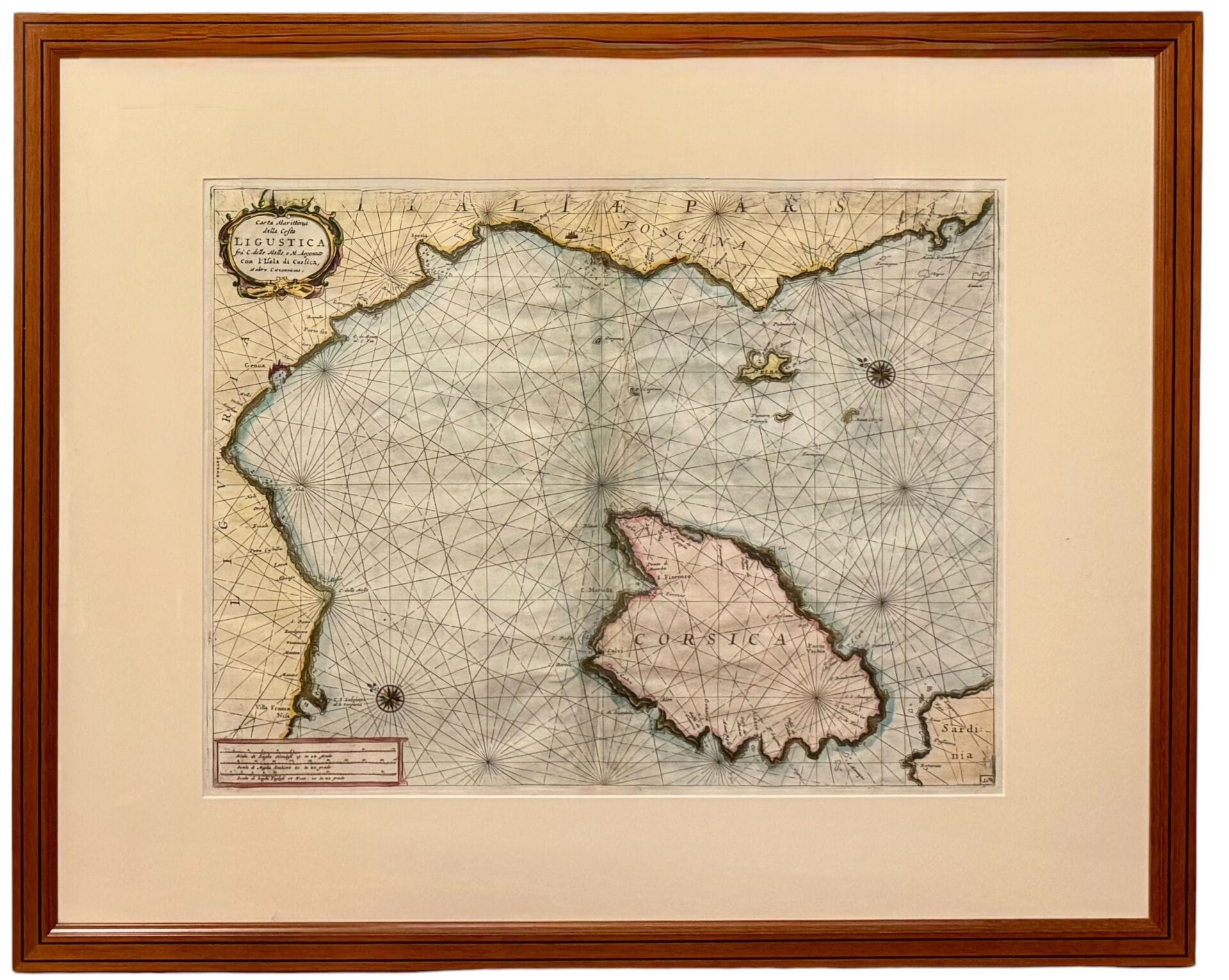
[Vincenzo CORONELLI] Maritime Map of the Ligurian Coast between Cape delle Melle and Cape Argentato, Including the Island of Corsica and Other Nearby Areas. Venice, 1696. Engraved and watercolored map of Corsica. Dimensions at the edge of the plate: 40 x 51 cm. Framed under glass with a mat. Possible pinholes in the margins; formerly folded in the center; possible restorations. GOOD CONDITION.
Estimate
€400 - €600
Buyer's premium
26%
[Vincenzo CORONELLI]
Maritime Map of the Ligurian Coast between Cape delle Melle and Cape Argentato, Including the Island of Corsica and Other Nearby Areas.
Venice, 1696.
Engraved and watercolored map of Corsica.
Dimensions at the edge of the plate: 40 x 51 cm.
Framed under glass with a mat.
Possible pinholes in the margins; formerly folded in the center; possible restorations.
GOOD CONDITION.
Sale
Saturday 21 November・11:00 (Europe/Paris)
Sale location coming soon
17, rue du Maréchal-Juin
20600 Bastia