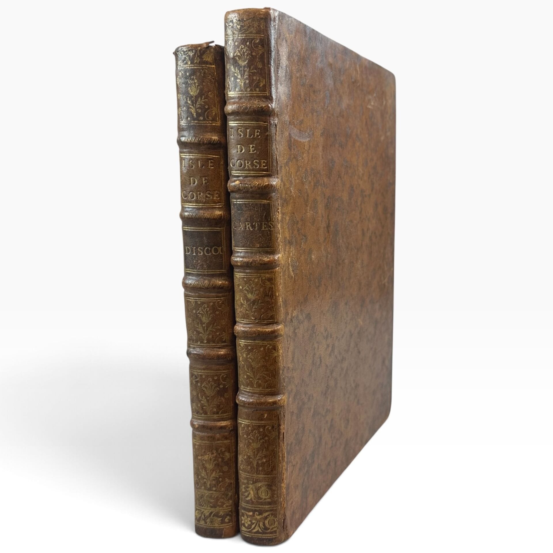
[BELLIN, Jacques Nicolas] 2 vols., in-4 (an atlas and a volume of texts), tiger-patterned leather bindings, spines with 5 raised bands richly decorated with gold flowers and gold lettering, red edges. Both volumes feature the heraldic bookplate of Prince Charles-Maurice de Talleyrand-Périgord (1754–1838) bearing the motto “Re que Diou.” - Atlas of the Isle of Corsica by Sieur Bellin, Naval Engineer, 1769. General Map of the Island of Corsica, divided by provinces, with references to the detailed maps according to the numbers below. Title page engraved with a frame featuring trophies; double-page engraved index. Atlas comprising 38 engraved maps, including 37 detailed provincial maps and city plans—of which No. XXX is duplicated—as well as a general map of “The Island of Corsica Divided by Provinces According to the Reduced Map of S.B.,” engraved by Croisey. However, the table of plates lists plates I through XXXV and does not mention the general map or the second map No. XXX (map of the vicinity of Corte). The engravings consist of double-page spreads (the general map, plates I through VIII, X through XIX, XXII through XXIV, XVII through XXIX, and XXXIII through XXXV), single pages (XX, XXI, XXV, XXVI, XXXI, XXXII), and fold-out maps (IX, XXX). - Geographical and Historical Description of the Island of Corsica. To accompany the maps and plans of this island. By Sieur Bellin, Naval Engineer. Paris, Imprimerie de Didot, 1769. COMPLETE COPIES published shortly after the signing of the Treaty of Versailles (1768), by which Genoa relinquished its sovereignty over Corsica to France. The maps and pages are in superb condition; the binding shows slight wear at the hinges and headbands. VERY GOOD OVERALL CONDITION OF BOTH VOLUMES.
Estimate
€5,000 - €7,000
Buyer's premium
26%
[BELLIN, Jacques Nicolas]
2 vols., in-4 (an atlas and a volume of texts), tiger-patterned leather bindings, spines with 5 raised bands richly decorated with gold flowers and gold lettering, red edges.
Both volumes feature the heraldic bookplate of Prince Charles-Maurice de Talleyrand-Périgord (1754–1838) bearing the motto “Re que Diou.”
- Atlas of the Isle of Corsica by Sieur Bellin, Naval Engineer, 1769.
General Map of the Island of Corsica, divided by provinces, with references to the detailed maps according to the numbers below.
Title page engraved with a frame featuring trophies; double-page engraved index.
Atlas comprising 38 engraved maps, including 37 detailed provincial maps and city plans—of which No. XXX is duplicated—as well as a general map of “The Island of Corsica Divided by Provinces According to the Reduced Map of S.B.,” engraved by Croisey.
However, the table of plates lists plates I through XXXV and does not mention the general map or the second map
No. XXX (map of the vicinity of Corte).
The engravings consist of double-page spreads (the general map, plates I through VIII, X through XIX, XXII through XXIV, XVII through XXIX, and XXXIII through XXXV), single pages (XX, XXI, XXV, XXVI, XXXI, XXXII), and fold-out maps (IX, XXX).
- Geographical and Historical Description of the Island of Corsica. To accompany the maps and plans of this island. By Sieur Bellin, Naval Engineer.
Paris, Imprimerie de Didot, 1769.
COMPLETE COPIES published shortly after the signing of the Treaty of Versailles (1768), by which Genoa relinquished its sovereignty over Corsica to France.
The maps and pages are in superb condition; the binding shows slight wear at the hinges and headbands.
VERY GOOD OVERALL CONDITION OF BOTH VOLUMES.
Sale
Saturday 21 November・11:00 (Europe/Paris)
Sale location coming soon
17, rue du Maréchal-Juin
20600 Bastia