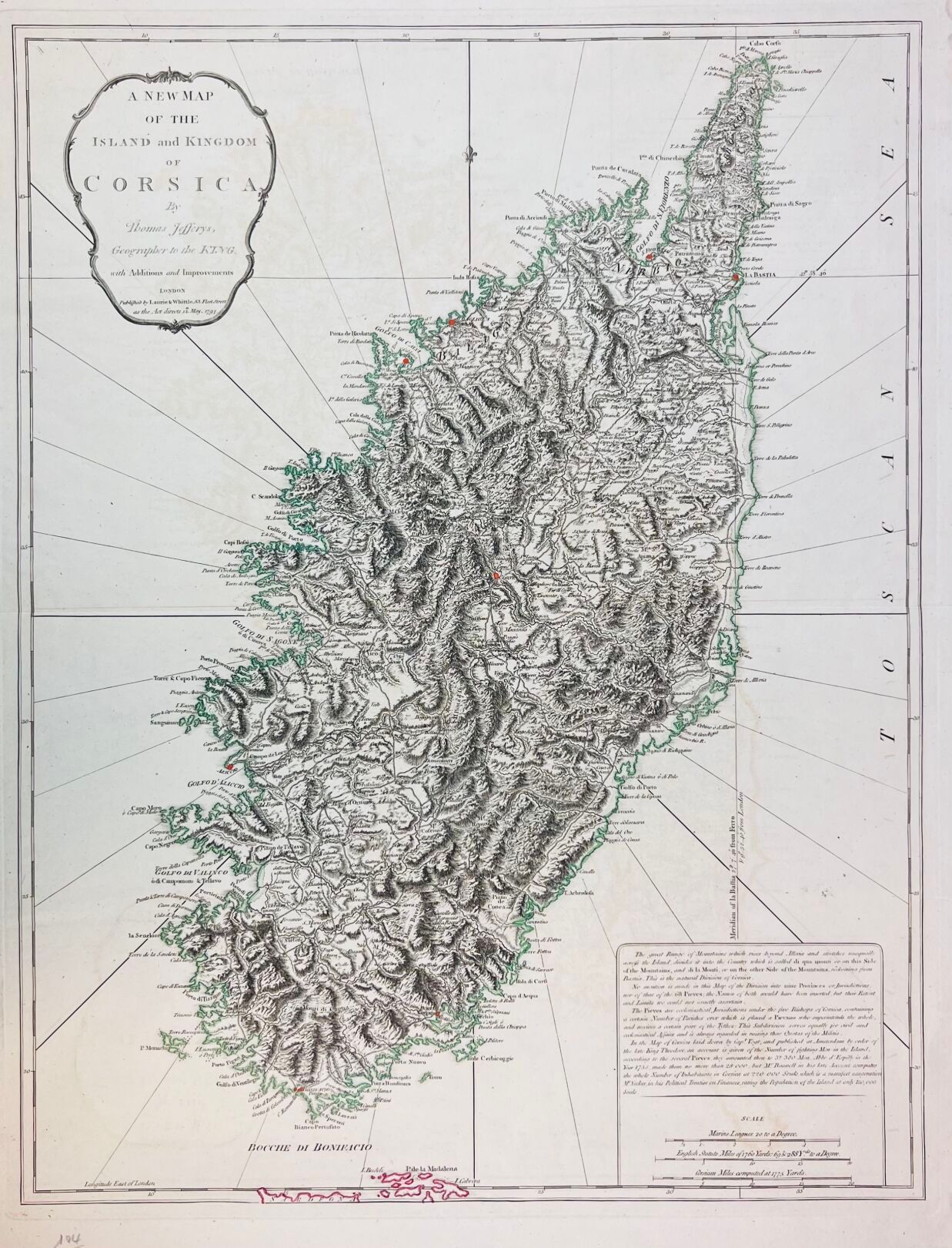
Thomas JEFFERYS (1719-1771) "A new map of the island and kingdom of Corsica by Thomas Jefferys, geographer to the king". 1794, London, Laurie & Whittle, 53 fleet street. Engraved map with watercolor borders. Size at the plate: 65 x 49.3 cm.
Estimate
€600 - €800
Result
Not communicated
Buyer's premium
26%
Thomas JEFFERYS (1719-1771)
"A new map of the island and kingdom of Corsica by Thomas Jefferys, geographer to the king".
1794, London, Laurie & Whittle, 53 fleet street.
Engraved map with watercolor borders.
Size at the plate: 65 x 49.3 cm.
Sale
Saturday 23 March 2024・14:00 (Europe/Paris)
Sale location coming soon
17, rue du Maréchal-Juin
20600 Bastia